Mohammad
Jasim Uddin
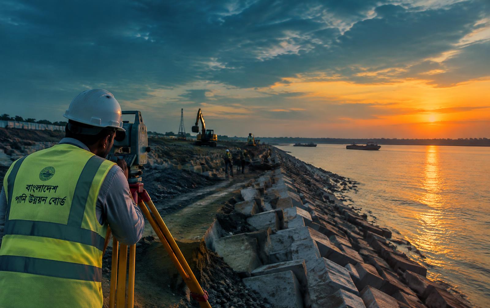
Hydrographic and land surveying, earthwork quantities and water infrastructure — measured in the field, delivered on paper that holds up to review.
TOPOGRAPHIC FIELD MODEL
CONTOUR / ELEVATION / SURVEY CONTROL
DATUM
RIVER SURVEY · BWDB
Field-tested engineering for Bangladesh's rivers and estates
Where precise field data becomes dependable engineering decisions.
I'm a civil engineer from Comilla with more than thirteen years in surveying and civil works, ten of them with the Bangladesh Water Development Board. My work sits where field data becomes quantities: cross-sections, volumes, BoQs and variation proposals.
I've surveyed rivers in Feni, tea estate land in Srimangal, and an export processing zone in Chittagong. I take the same care with a level book as with a final bill — because clients and auditors read both.
Professional profile
- Current role
- Sub-Assistant Engineer
- Bangladesh Water Development Board
- Specialisation
- Surveying & water infrastructure
- Based in
- Comilla, Chattogram
- linkedin.com/in/jasimbd
- facebook.com/jasim.travel
What I do
Core field skills
Surveying to final quantities
Bars show where each skill appears in this portfolio — experience, projects, skills and FAQ. They are not self-rated levels.
Surveying
Experience · Projects · Skills · FAQ
ADCP
Skills · FAQ
AutoCAD
Skills · FAQ
GIS
Skills · FAQ
Levelling
Experience · Projects · Skills
Level machine operation
Experience · Projects · Skills
Earthwork calculation
Experience · Projects · Skills · FAQ
Earthwork estimation
Experience · Projects · Skills · FAQ
Field supervision
Projects · Skills
AI in engineering
Skills
Hydrographic survey
River bed and channel surveys, ADCP deployment and discharge measurement for water development works.
Land surveying
Levelling, traversing and total station work producing contour maps, cross-sections and design-ready data.
Earthwork estimation
Cross-sections, volume computation, BoQ and variation proposals in standard government formats.
GIS & remote sensing
ArcGIS, Google Earth Pro and Google Earth Engine for mapping, change detection and site analysis.
Drawing & documentation
AutoCAD drawings, PowerPoint reporting and Excel sheets that hold up to audit and review.
Field supervision
Site measurement, QA/QC and coordination with contractors and government officers.
AI content creation
Creating images, text and presentations with AI tools for reports, documentation and outreach.
Software
WORKFLOW / TOOLSWorking style
A practical combination of field coordination, precise documentation and modern digital tools.
Top skill
AI Creator
AI in civil engineering
AI EXPERTI work as an AI expert in civil engineering — bringing AI tools into everyday engineering work: reports, documentation, presentations, images and outreach.
Office work
DESK / DOCUMENTSEverything that follows the field work onto paper — quantities, estimates, bills, drawings and reports in the formats offices and auditors expect.
Selected work
Ongoing and completed work
Photographs from the field — block pitching and precast cube production while the works are running, and finished bank protection after the slope is handed over. Tap a photo to open it, then tap the image to zoom.
Where I've worked
Jun 2021 – present
ongoing
BWDBSub-Assistant Engineer
Bangladesh Water Development Board
Comilla District
I run survey, quantity estimation and billing for river bank protection, embankment and flood control packages, and prepare cross-sections and variation proposals.
CurrentTenure · ongoingAug 2016 – Aug 2021
5 yrs
BWDBSurveyor Engineer
Bangladesh Water Development Board
Feni
I carried out hydrographic and land surveys, levelling and cross-section work for water development schemes in the Feni region.
Tenure · 5 yrsJan 2014 – Aug 2016
2 yr 7 mo
BTBSurveyor
Bangladesh Tea Board
Srimangal
I surveyed tea estate land, boundaries and drainage works, and prepared the plans and sections that followed.
Tenure · 2 yr 7 moAug 2013 – Dec 2013
4 mo
KEPZSurveyor
Korean Export Processing Zone (KEPZ)
Chittagong
I assisted with site levelling and setting-out surveys during the early development of the zone.
Tenure · 4 mo
Education & certifications
2015 – 2019
4 yrs
SUBachelor of Civil Engineering
Sonargaon University (SU)
Duration · 4 yrsField · Civil Engineering2008 – 2012
4 yrs
BSIDiploma in Engineering (Surveying)
Bangladesh Survey Institute
Duration · 4 yrsField · Surveying Engineering2003 – 2008
5 yrs
CCHSHigh School, Science
Comilla Cantonment High School
Duration · 5 yrsField · Science
Certifications
Languages
Top skills
Download my CV
A two-page CV with my full survey and civil engineering history, qualifications, software and contact details. No sign-up — it downloads straight to your device.
- Four roles from 2013 to the present
- B.Sc. in Civil Engineering and a diploma in surveying
- ADCP, hydrographic survey, AutoCAD, ArcGIS, Google Earth Engine
- Email, phone, LinkedIn and portfolio links
Mohammad Jasim Uddin
Civil Engineer · Surveying & water infrastructure
- File
- Mohammad-Jasim-Uddin-CV.pdf
- Pages
- 2
- Size
- 47 KB
- Updated
- Nov 2026
Prefer to read it here? The same details are on the Education and Experience sections of this page.
Common questions
01What types of work do you take on?
Hydrographic and land surveying, ADCP and discharge measurement, cross-sections and earthwork quantities, BoQ and variation proposals, and GIS mapping with ArcGIS or Google Earth Engine.
02Where do you work?
I'm based in Comilla Adarsha Sadar, Chattogram, and have worked across Comilla, Feni, Srimangal and Chittagong — plus projects in Dhaka.
03Which software do you use?
AutoCAD, MS Excel, MS PowerPoint, MS Word, MS Project, Google Docs & Sheets, ArcGIS, Google Earth Pro, Google Earth Engine and Adobe Photoshop.
04Can you prepare BoQs and variation proposals?
Yes. I prepare earthwork BoQs, cost estimates and variation proposals in the standard government formats used by BWDB.
05How do we get started?
Send a short message with the site location, scope and drawings if available. I'll reply within two working days.
Articles from the field
Let's discuss your project
Tell me about the site, the scope and the deadline.
Project enquiry